




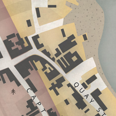
A close-up view of a section of the map.
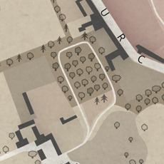
A better look at the illustrative tree symbols used on this map.
Borough of New Lymington
Client: St Barbe Museum & Art Gallery
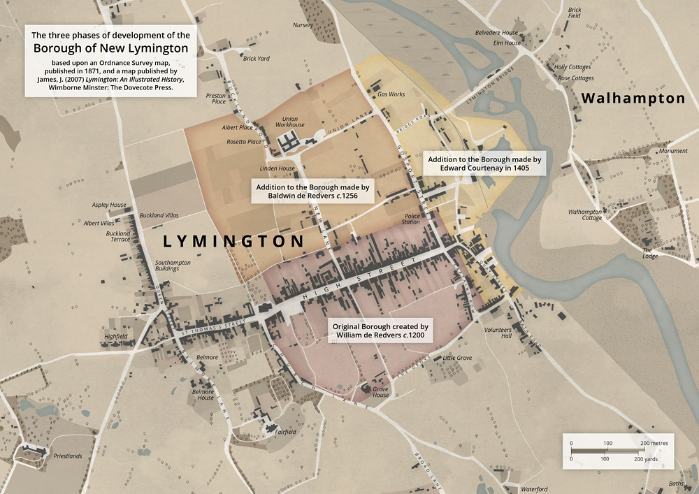
This map of Lymington (Hampshire, UK) is based upon historical mapping from the mid 19th Century. Produced for inclusion in a museum display case, this map illustrates the three phases of development of the Borough of New Lymington from the 13th Century onwards.
The design of this map was inspired by old Ordnance Survey town plans from the 19th Century. Often employing design flourishes, such as little tree illustrations and other symbolic features, maps from this previous era have influenced the style we've used for this particular map.
Partly to reflect the historical mapping, upon which the design for this map has been based, but also to enable the featured information to stand out more clearly against the background, we've used a subdued and restricted colour palette in the design of this particular map.


